Article
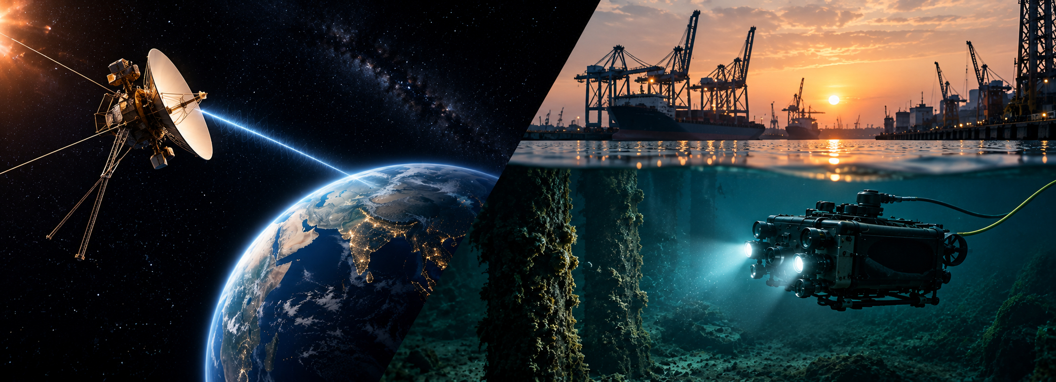
On 18 November 2026, NASA’s Voyager 1 will become the first human-made object to sit one light-day from Earth: about 25.9 billion kilometres away, with each radio signal taking a full 24 hours to make the one-way trip. Launched in 1977, the spacecraft is still in contact with mission controllers.
Now drop a robot 30 metres beneath the surface of a busy Indian harbour. Radio contact disappears within a short distance of the surface. GPS stops working. Visibility can fall to arm’s length. Currents push the vehicle off station. The gap between these two situations is not about computing power or budget. It is about physics, and it is the reason underwater robotics is a specialised engineering discipline rather than a waterproofed version of drone technology.
Seawater blocks the signals that space relies on
Space communication works because radio waves travel freely through a vacuum. Seawater is different: it is electrically conductive, and radio frequency energy is severely attenuated within it. The same applies to satellite navigation. The radio frequencies used by GPS cannot penetrate seawater, so a submerged vehicle cannot simply look up its position.
Underwater systems therefore rely on sound, which travels well through water. But sound moves at only about 1,500 metres per second in seawater, roughly 200,000 times slower than a radio signal travelling at the speed of light. Acoustic links also carry far less data. Underwater acoustic modems typically achieve data rates in the range of 10–50 kilobits per second over distances of 1–10 kilometres, a small fraction of what a home Wi-Fi connection delivers. That is enough for commands and telemetry, but not for continuous high-definition video.
Light is the remaining option, and it has limits of its own. Water is essentially opaque to electromagnetic radiation outside the visible band, and in silty rivers, monsoon-fed reservoirs and working ports, suspended sediment scatters what light there is. A camera that performs well in a clear test tank may see very little in the Hooghly or a dredged port channel.
What the physics means for robot design
These constraints shape every major design decision on an underwater robot. Three matter most.
1. The tether is an engineering answer, not a limitation
Because wireless links underwater are slow and short-ranged, inspection-class remotely operated vehicles (ROVs) are piloted from the surface through a tether that carries power and high-bandwidth data. This is what allows an operator to see live video, control a manipulator arm and capture measurements in real time. The trade-off is tether management: drag in currents, the risk of snagging on structures, and the need for an experienced pilot who can work within those limits.
2. Positioning must be engineered in from the start
Without GPS below the surface, underwater positioning is built from acoustic baselines and onboard sensors. Ultra-short baseline (USBL) systems mounted on a support vessel measure the arrival time of acoustic signals from the vehicle to estimate its position, while long baseline (LBL) systems use precisely located seabed stations. Doppler velocity logs and inertial sensors fill the gaps between acoustic fixes. Reliable positioning is what allows an inspection team to return to the same defect months later and tell whether it has grown.
3. Seeing in poor visibility needs more than a camera
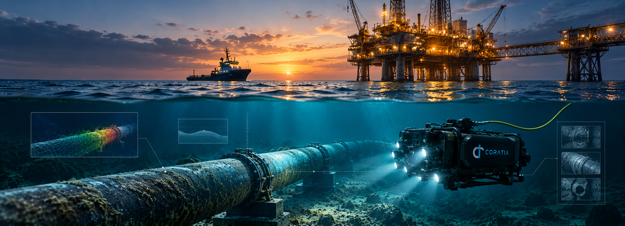
When visibility is poor, inspection depends on combining sensors and processing: sonar to “see” through turbid water, stereo cameras to recover three-dimensional shape at close range, laser scalers to put real dimensions on a defect, and image-enhancement software to recover detail from murky footage. The question is not whether the robot can capture video, but whether the data it returns is good enough for an engineer to make a decision.
Why Indian waters raise the bar
India’s underwater environments are demanding. Sediment-heavy rivers, reservoirs whose conditions change dramatically between pre- and post-monsoon seasons, tidal estuaries and congested ports each impose different combinations of current, turbidity and acoustic noise. A platform validated in one setting may need a different sensor configuration, operating method or inspection plan in another. That is why field testing in Indian conditions matters more than performance claims made in clear water.
How Coratia engineers around the environment
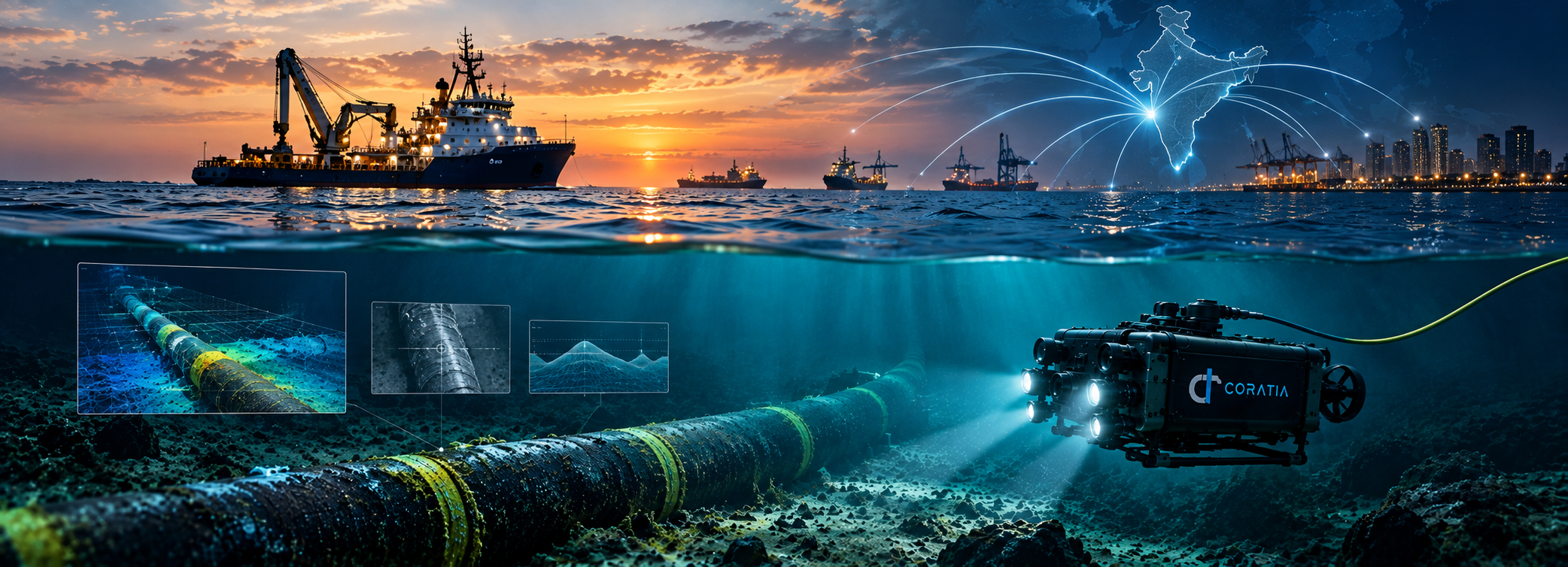
Coratia Technologies has built its product line around these constraints rather than around demonstration conditions. Its three tethered ROVs cover different inspection needs. JalaDuta, rated to 150 metres, is designed for hull cleaning, minor salvage and inspection of submerged civil infrastructure. Oceanaus, also rated to 150 metres, is a rugged inspection and maintenance platform with high-definition imaging. JalaSimha, rated to 300 metres, adds a stereovision system for three-dimensional imaging, an integrated robotic arm, and non-destructive testing (NDT) equipment including a thickness gauge and laser scaler for measuring corrosion, material thickness and defect size.
For survey work, Coratia’s Navya autonomous surface vessel takes a different approach to the same physics problem. By operating on the surface, Navya keeps satellite positioning and radio links available, while its dual-frequency echosounder uses sound to map the bed below. Coratia pairs its hardware with AI-based NDT services, including real-time defect identification, image and video enhancement, and defect quantification, which directly address the visibility problem in turbid water.
Field reliability is also what defence users demand. In September 2025, the Indian Navy signed a ₹66 crore contract with Coratia for the supply and maintenance of indigenous underwater ROVs, supported through the Ministry of Defence’s iDEX innovation framework. Naval operations are a demanding proving ground for exactly the conditions described above: limited visibility, strong currents and missions where the system has to work the first time.
The real benchmark for underwater robotics
Voyager 1 is a triumph of engineering in an environment that, for radio, is remarkably forgiving. The ocean is the opposite: close, familiar and physically hostile to the signals that modern technology depends on. Progress underwater comes from designing systems that accept those limits, using tethers where bandwidth matters, acoustics where radio fails, and surface platforms where satellite positioning is needed.
For infrastructure owners in India, the benchmark is not a single impressive dive. It is whether an underwater robot can return reliable, comparable data from a turbid reservoir, a busy port or a bridge pier, season after season. That is the standard Coratia is building towards.